2011
SO8480 : River Stour near Caunsall
taken 13 years ago, near to Caunsall, Worcestershire, England
This is 1 of 2 images, with title River Stour near Caunsall in this square
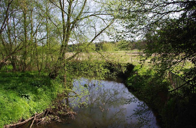
River Stour near Caunsall
One of the many bends in the river in this area.
 Map © Crown Copyright")
TIP: Click the map for more Large scale mapping
- Grid Square
- SO8480, 244 images (more nearby 🔍)
- Photographer
- P L Chadwick (more nearby)
- Date Taken
- Sunday, 10 April, 2011 (more nearby)
- Submitted
- Monday, 19 December, 2011
- Subject Location
-
OSGB36:
 SO 849 807 [100m precision]
WGS84: 52:25.4662N 2:13.3736W - Camera Location
-
OSGB36: SO 849 807
- View Direction
- East-southeast (about 112 degrees)