J3673 : Park seat and path, Belfast
taken 12 years ago, 3 km from Belfast, Co Antrim, Northern Ireland
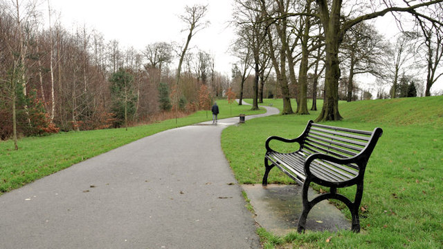
Park seat and path, Belfast
This path (to the best of my knowledge) marks the boundary between Greenville Park (left) and Orangefield Park and playing fields. The Knock River J3673 : The Knock River, Belfast (9) is below the trees on the left.
Greenville and Orangefield Parks, Belfast
Greenville Park and Orangefield Park are parts of a park and playing fields between Grand Parade and Houston Park in east Belfast.
![Creative Commons Licence [Some Rights Reserved]](https://s1.geograph.org.uk/img/somerights20.gif)
|
· Find out How to reuse this image ·
Share:
|
|||||
| Start a discussion on J3673 | Suggest an update to this image | Contact the contributor | |||
Loading map... (JavaScript required)
- Grid Square
- J3673, 309 images (more nearby
 )
)
- Photographer
- Albert Bridge (find more nearby)
- Date Taken
- Saturday, 31 December, 2011 (more nearby)
- Submitted
- Saturday, 31 December, 2011
- Geographical Context
- Subject Location
-
Irish:
 J 369 730 [100m precision]
WGS84: 54:35.2346N 5:52.9482W - Camera Location
-
Irish: J 369 730
- View Direction
- EAST (about 90 degrees)
Other Tags
Image classification(about):
Geograph
This page has been viewed about 96 times.
View this location:
KML (Google Earth) ·
Google Maps ·
Bing Maps ·
Geograph Coverage Map ·
More Links for this image
·
Bing Maps ·
Geograph Coverage Map ·
More Links for this image