2011
NH5030 : Meall Fuar-mhonaidh and Drumnadrochit
taken 12 years ago, near to Drumnadrochit, Highland, Scotland
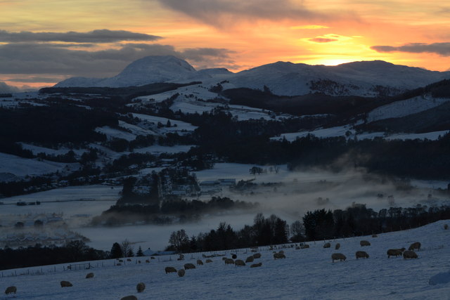
Meall Fuar-mhonaidh and Drumnadrochit
A December sunset over the village of Drumnadrochit
 Map © Crown Copyright")
TIP: Click the map for more Large scale mapping
- Grid Square
- NH5030, 63 images (more nearby 🔍)
- Photographer
- Iain MacRae (more nearby)
- Contributed by
- Iain MacRae (more nearby)
- Date Taken
- Saturday, 17 December, 2011 (more nearby)
- Submitted
- Tuesday, 3 January, 2012
- Subject Location
-
OSGB36:
 NH 50831 30046 [1m precision]
WGS84: 57:20.1873N 4:28.7905W - Camera Location
-
OSGB36: NH 52158 31292
- View Direction
- Southwest (about 225 degrees)