2012
NU1343 : Emmanuel Head Navigation Marker - Closeup
taken 12 years ago, near to Holy Island, Northumberland, England
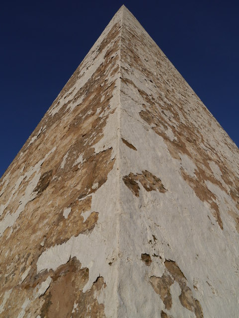
Emmanuel Head Navigation Marker - Closeup
A view of the flaking whitewash on the stone navigation marker at Emmanuel Head.
 Map © Crown Copyright")
TIP: Click the map for more Large scale mapping
- Grid Square
- NU1343, 184 images (more nearby 🔍)
- Photographer
- James T M Towill (more nearby)
- Date Taken
- Sunday, 15 January, 2012 (more nearby)
- Submitted
- Wednesday, 18 January, 2012
- Subject Location
-
OSGB36:
 NU 1392 4363 [10m precision]
WGS84: 55:41.1571N 1:46.8102W - Camera Location
-
OSGB36: NU 1392 4363
- View Direction
- Northeast (about 45 degrees)