2012
SK5482 : Quarry?
taken 12 years ago, near to Netherthorpe, Rotherham, England
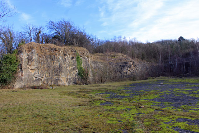
Quarry?
Not sure if this was once used to quarry?
 Map © Crown Copyright")
TIP: Click the map for more Large scale mapping
- Grid Square
- SK5482, 19 images (more nearby 🔍)
- Photographer
- Martin Lee (more nearby)
- Date Taken
- Sunday, 22 January, 2012 (more nearby)
- Submitted
- Monday, 23 January, 2012
- Subject Location
-
OSGB36:
 SK 540 821 [100m precision]
WGS84: 53:19.9838N 1:11.4348W - Camera Location
-
OSGB36: SK 540 822
- View Direction
- SOUTH (about 180 degrees)