2012
SJ6291 : Public Footpath
taken 12 years ago, near to Fearnhead, Warrington, England
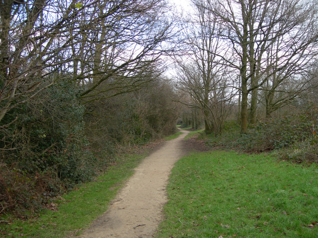
Public Footpath
Public Footpath between Solway Close and St Andrews Close
 Map © Crown Copyright")
TIP: Click the map for more Large scale mapping
- Grid Square
- SJ6291, 27 images (more nearby 🔍)
- Photographer
- Mike Lyne (more nearby)
- Date Taken
- Monday, 30 January, 2012 (more nearby)
- Submitted
- Monday, 30 January, 2012
- Subject Location
-
OSGB36:
 SJ 6299 9185 [10m precision]
WGS84: 53:25.3284N 2:33.5027W - Camera Location
-
OSGB36: SJ 6299 9184
- View Direction
- North-northeast (about 22 degrees)