2012
NO0505 : Route west of Arlick Hill
taken 12 years ago, near to Dalqueich, Perth And Kinross, Scotland
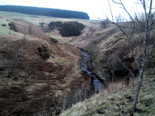
Route west of Arlick Hill
The Perth & Kinross Council Core Path is to the east (right) of the burn. It doesn't exist!
 Map © Crown Copyright")
TIP: Click the map for more Large scale mapping
- Grid Square
- NO0505, 8 images (more nearby 🔍)
- Photographer
- AllanKnaik (more nearby)
- Date Taken
- Monday, 30 January, 2012 (more nearby)
- Submitted
- Tuesday, 31 January, 2012
- Subject Location
-
OSGB36:
 NO 057 054 [100m precision]
WGS84: 56:13.9547N 3:31.3268W - Camera Location
-
OSGB36: NO 056 054
- View Direction
- East-northeast (about 67 degrees)