2012
NJ0039 : The Dorback Burn
taken 12 years ago, near to Dava, Highland, Scotland
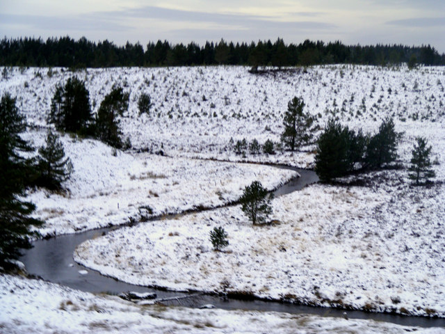
The Dorback Burn
Flowing from Lochindorb and under the A940.
 Map © Crown Copyright")
TIP: Click the map for more Large scale mapping
- Grid Square
- NJ0039, 26 images (more nearby 🔍)
- Photographer
- Ann Harrison (more nearby)
- Date Taken
- Tuesday, 24 January, 2012 (more nearby)
- Submitted
- Tuesday, 31 January, 2012
- Subject Location
-
OSGB36:
 NJ 0071 3954 [10m precision]
WGS84: 57:26.1180N 3:39.3310W - Camera Location
-
OSGB36: NJ 0080 3948
- View Direction
- Northwest (about 315 degrees)