2012
SU5083 : Track from the bridge
taken 12 years ago, 3 km from East Ilsley, West Berkshire, England
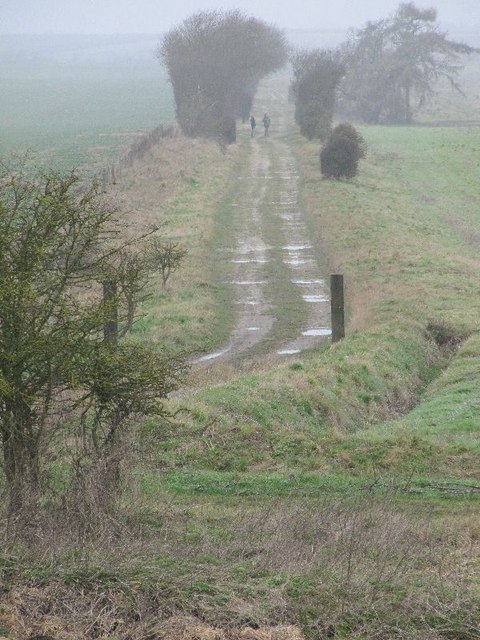
Track from the bridge
The track you see here used to be the old railway line running from Didcot to Newbury now it is a farm track though walkers seem to use it freely.
 Map © Crown Copyright")
TIP: Click the map for more Large scale mapping
- Grid Square
- SU5083, 42 images (more nearby 🔍)
- Photographer
- Bill Nicholls (more nearby)
- Date Taken
- Sunday, 29 January, 2012 (more nearby)
- Submitted
- Monday, 6 February, 2012
- Subject Location
-
OSGB36:
 SU 5084 8333 [10m precision]
WGS84: 51:32.7949N 1:16.0940W - Camera Location
-
OSGB36: SU 50978 83240
- View Direction
- Northwest (about 315 degrees)