2006
TL5729 : The pond at Cherry Green Farm
taken 17 years ago, near to Cherry Green, Essex, England
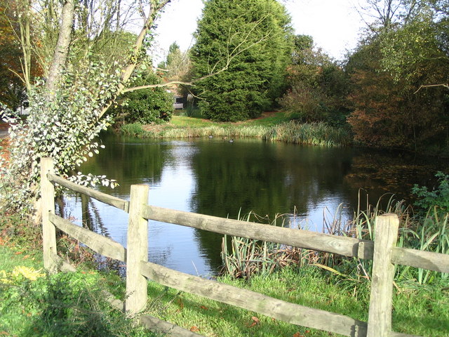
The pond at Cherry Green Farm
This old fish pond sits to one side of the farm's entrance. The farm is at the end of Cheery Greens only road. I better mention that the old OS map shows the village as Chaureth Green.
 Map © Crown Copyright")
TIP: Click the map for more Large scale mapping
- Grid Square
- TL5729, 6 images (more nearby 🔍)
- Photographer
- David Morgan (more nearby)
- Date Taken
- Sunday, 12 November, 2006 (more nearby)
- Submitted
- Wednesday, 15 November, 2006
- Subject Location
-
OSGB36:
 TL 576 297 [100m precision]
WGS84: 51:56.6088N 0:17.4881E - View Direction
- Northeast (about 45 degrees)