2012
NX3554 : End of the Rainbow
taken 12 years ago, 3 km from Spittal, Dumfries And Galloway, Scotland
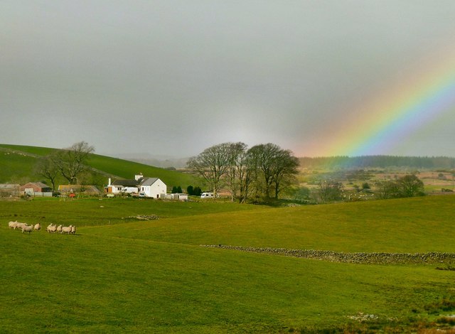
End of the Rainbow
For those that have always wondered the end of the rainbow is near Barquhill Farm in Dumfries and Galloway. View from White Hill.
 Map © Crown Copyright")
TIP: Click the map for more Large scale mapping
- Grid Square
- NX3554, 16 images (more nearby 🔍)
- Photographer
- Andy Farrington (more nearby)
- Date Taken
- Wednesday, 7 March, 2012 (more nearby)
- Submitted
- Wednesday, 7 March, 2012
- Subject Location
-
OSGB36:
 NX 3569 5498 [10m precision]
WGS84: 54:51.7525N 4:33.6961W - Camera Location
-
OSGB36: NX 35743 54943
- View Direction
- Northwest (about 315 degrees)