2011
SK7930 : Byway sign on Toft's Hill
taken 13 years ago, near to Eaton, Leicestershire, England
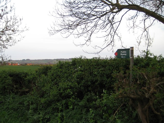
Byway sign on Toft's Hill
Accompanied with a red arrow, the colour used to denote a Byway. The Jubilee Way long distance footpath also follows part of this route, but turns off south and follows the driveway to Sherricliffe Farm. The buildings of which can be seen in the background.
 Map © Crown Copyright")
TIP: Click the map for more Large scale mapping
- Grid Square
- SK7930, 44 images (more nearby 🔍)
- Photographer
- Oliver Bell (more nearby)
- Date Taken
- Monday, 25 April, 2011 (more nearby)
- Submitted
- Tuesday, 13 March, 2012
- Subject Location
-
OSGB36:
 SK 7907 3062 [10m precision]
WGS84: 52:52.0357N 0:49.6108W - Camera Location
-
OSGB36: SK 7907 3062
- View Direction
- Southeast (about 135 degrees)