2012

SU5072 : Towards Hermitage

taken 12 years ago, near to Hermitage, West Berkshire, England
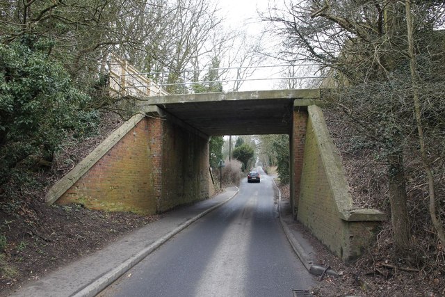
Towards Hermitage
Towards Hermitage
Looking along the Marlston Road towards the junction with Slanting Hill near Hermitage.

Creative Commons Licence [Some Rights Reserved]   © Copyright Bill Nicholls and licensed for reuse under this Creative Commons Licence.
Geographical Context: Historic sites and artefacts Village, Rural settlement Roads, Road transport Former: Railway Line other tags: Didcot Newbury Southampton Railway Click a tag, to view other nearby images.
This photo is linked from: Articles: · The Didcot, Newbury and Southampton Line Automatic Clusters: · Marlston Road in Hermitage [8] · Junction [2] · Slanting Hill [2] ·
1:50,000 Modern Day Landranger(TM) Map © Crown Copyright
+
+
1:50,000 Modern Day Landranger(TM) Map © Crown Copyright
TIP: Click the map for more Large scale mapping
Grid Square
SU5072, 75 images   (more nearby 🔍)
Photographer
Bill Nicholls   (more nearby)
Date Taken
Saturday, 10 March, 2012   (more nearby)
Submitted
Monday, 19 March, 2012
Subject Location
OSGB36: geotagged! SU 5081 7282 [10m precision]
WGS84: 51:27.1255N 1:16.2105W
Camera Location
OSGB36: geotagged! SU 5084 7279
View Direction
Northwest (about 315 degrees)
Clickable map
+
NW N NE
W Go E
SW S SE
Image classification(about): Geograph
This page has been viewed about 183 times
You are not logged in login | register