H9067 : Ballybeg Townland
taken 17 years ago, 5 km ESE of Stewartstown, Co Tyrone, Northern Ireland
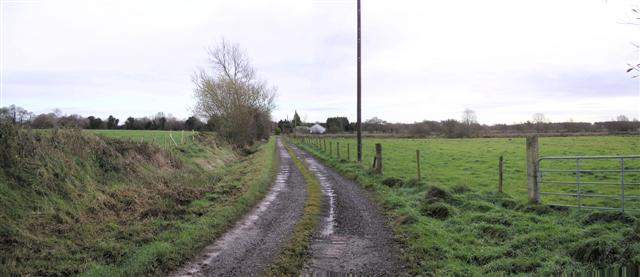
Ballybeg Townland
All the land surrounding Lough Neagh is very flat.
![Creative Commons Licence [Some Rights Reserved]](https://s1.geograph.org.uk/img/somerights20.gif)
|
· Find out How to reuse this image ·
Share:
|
|||||
| Start a discussion on H9067 | Suggest an update to this image | Contact the contributor | |||
Loading map... (JavaScript required)
- Grid Square
- H9067 (more nearby
 )
)
- Photographer
- Kenneth Allen (find more nearby)
- Date Taken
- Tuesday, 28 November, 2006 (more nearby)
- Submitted
- Thursday, 30 November, 2006
- Category
- Countryside (more nearby)
- Subject Location
-
Irish:
 H 901 677 [100m precision]
WGS84: 54:32.9822N 6:36.4924W - Camera Location
-
Irish: H 900 677
- View Direction
- EAST (about 90 degrees)
This page has been viewed about 77 times.
View this location:
KML (Google Earth) ·
Google Maps ·
Bing Maps ·
Geograph Coverage Map ·
More Links for this image
·
Bing Maps ·
Geograph Coverage Map ·
More Links for this image