2012
SJ5255 : Deciduous woodland near Grig Hill Farm
taken 12 years ago, near to Bulkeley, Cheshire East, England
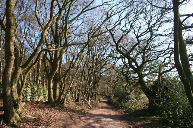
Deciduous woodland near Grig Hill Farm
A rough vehicle track connects Fowlers Bench Lane at Peckforton Gap with Coppermine Lane, serving Grig Hill Farm and other farms. Bulkeley Hill is on the left, covered with deciduous woodland
 Map © Crown Copyright")
TIP: Click the map for more Large scale mapping
- Grid Square
- SJ5255, 47 images (more nearby 🔍)
- Photographer
- Espresso Addict (more nearby)
- Date Taken
- Sunday, 1 April, 2012 (more nearby)
- Submitted
- Tuesday, 3 April, 2012
- Subject Location
-
OSGB36:
 SJ 524 557 [100m precision]
WGS84: 53:5.7878N 2:42.6933W - Camera Location
-
OSGB36: SJ 524 557
- View Direction
- SOUTH (about 180 degrees)