2006
TL9839 : Sprott's farm
taken 17 years ago, near to Polstead, Suffolk, England
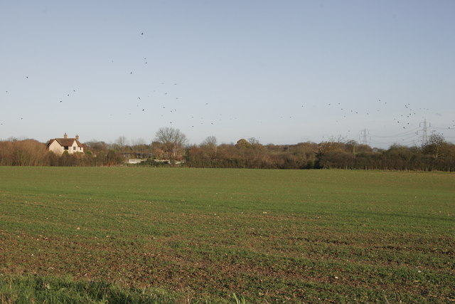
Sprott's farm
This was taken from the same place as the photo of High Trees Farm, but looking east. The national grid lines which are on the OS map are clearly visible.
 Map © Crown Copyright")
TIP: Click the map for more Large scale mapping
- Grid Square
- TL9839, 11 images (more nearby 🔍)
- Photographer
- Chris Nuttall (more nearby)
- Date Taken
- Sunday, 3 December, 2006 (more nearby)
- Submitted
- Sunday, 3 December, 2006
- Subject Location
-
OSGB36:
 TL 989 392 [100m precision]
WGS84: 52:0.9339N 0:53.8254E - Camera Location
-
OSGB36: TL 987 392
- View Direction
- EAST (about 90 degrees)