2012
NF8646 : Bagh na Murla, Wiay
taken 12 years ago, 5 km ENE of Rubha Ghaisinis, South Uist & Benbecula, Na h-Eileanan an Iar, Scotland
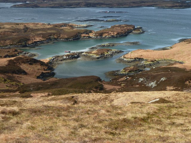
Bagh na Murla, Wiay
Descending from the summit of Beinn a Tuath a telephoto brings the mooring closer.
 Map © Crown Copyright")
TIP: Click the map for more Large scale mapping
- Grid Square
- NF8646, 12 images (more nearby 🔍)
- Photographer
- Graham Hewitt (more nearby)
- Date Taken
- Saturday, 14 April, 2012 (more nearby)
- Submitted
- Wednesday, 18 April, 2012
- Subject Location
-
OSGB36:
 NF 8641 4620 [10m precision]
WGS84: 57:23.8611N 7:13.3483W - Camera Location
-
OSGB36: NF 86857 46254
- View Direction
- WEST (about 270 degrees)