2012
NR3973 : Cnoc an t-Samhlaidh, Islay
taken 12 years ago, 3 km from Bunnahabhain, Islay, Argyll And Bute, Scotland
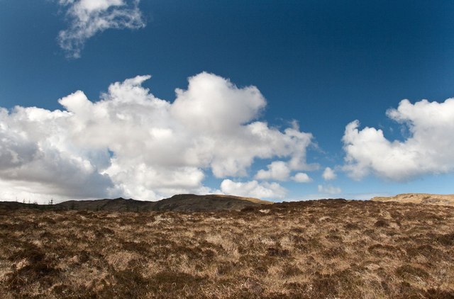
Cnoc an t-Samhlaidh, Islay
This little hillock is surrounded by an extensive conifer plantation west of Bunnahabhain. Giùr-bheinn (my destination) is in the distance.
 Map © Crown Copyright")
TIP: Click the map for more Large scale mapping
- Grid Square
- NR3973, 8 images (more nearby 🔍)
- Photographer
- Becky Williamson (more nearby)
- Date Taken
- Wednesday, 18 April, 2012 (more nearby)
- Submitted
- Thursday, 19 April, 2012
- Subject Location
-
OSGB36:
 NR 3933 7316 [10m precision]
WGS84: 55:52.8502N 6:10.1737W - Camera Location
-
OSGB36: NR 3940 7314
- View Direction
- West-northwest (about 292 degrees)