2010
SN4649 : A Farm in Cwrtnewydd
taken 14 years ago, near to Aber, Ceredigion/Sir Ceredigion, Wales
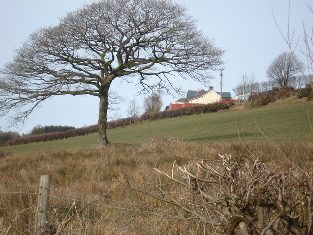
A Farm in Cwrtnewydd
Taken in the spring of 2010, a farm on the hill near Bryngrannog and Cwm Mawr in Cwrtnewydd.
 Map © Crown Copyright")
TIP: Click the map for more Large scale mapping
- Grid Square
- SN4649, 3 images (more nearby 🔍)
- Photographer
- judy (more nearby)
- Date Taken
- Tuesday, 2 March, 2010 (more nearby)
- Submitted
- Monday, 30 April, 2012
- Subject Location
-
OSGB36:
 SN 469 490 [100m precision]
WGS84: 52:7.0947N 4:14.2337W - Camera Location
-
OSGB36: SN 469 490
- View Direction
- Northwest (about 315 degrees)