2012
SS1396 : Sandtop Bay
taken 12 years ago, 3 km from Penally, Pembrokeshire/Sir Benfro, Wales
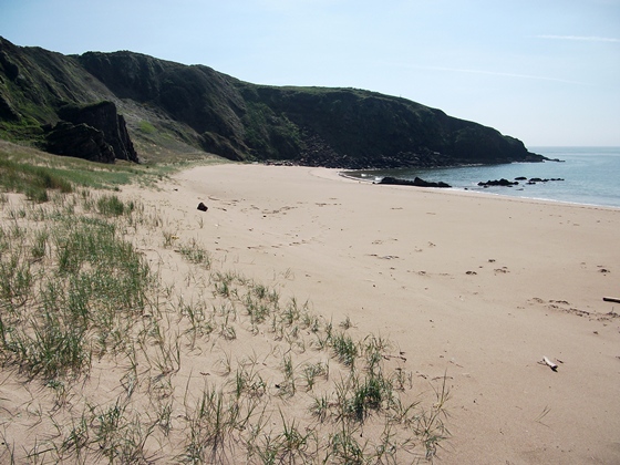
Sandtop Bay
 Map © Crown Copyright")
TIP: Click the map for more Large scale mapping
- Grid Square
- SS1396, 85 images (more nearby 🔍)
- Photographer
- Alistair Hare (more nearby)
- Date Taken
- Wednesday, 2 May, 2012 (more nearby)
- Submitted
- Thursday, 3 May, 2012
- Subject Location
-
OSGB36:
 SS 1311 9653 [10m precision]
WGS84: 51:38.1868N 4:42.1238W - Camera Location
-
OSGB36: SS 1317 9672
- View Direction
- South-southwest (about 202 degrees)