2012
NN3548 : Waterlogged moorland
taken 12 years ago, near to Water of Tulla [water Feature], Argyll And Bute, Great Britain
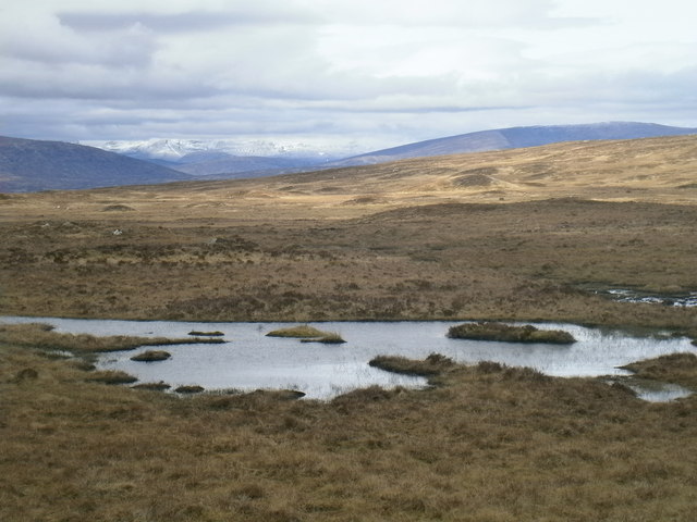
Waterlogged moorland
Snow capped mountains in the far distance.
 Map © Crown Copyright")
TIP: Click the map for more Large scale mapping
- Grid Square
- NN3548 (more nearby 🔍)
- Photographer
- Alan Barlow (more nearby)
- Date Taken
- Monday, 30 April, 2012 (more nearby)
- Submitted
- Friday, 4 May, 2012
- Subject Location
-
OSGB36:
 NN 3532 4887 [10m precision]
WGS84: 56:36.1624N 4:41.0564W - Camera Location
-
OSGB36: NN 35467 48078
- View Direction
- NORTH (about 0 degrees)