2006
NZ1938 : View over farmland to Weather Hill House and Wood
taken 17 years ago, near to Waterhouses, County Durham, England
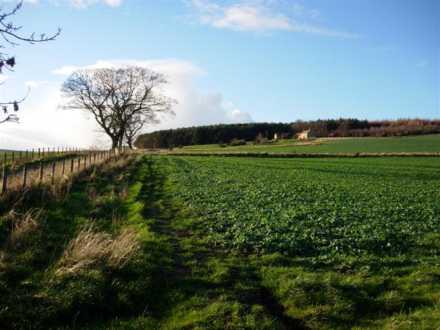
View over farmland to Weather Hill House and Wood
The field in the foreground is planted with rapeseed.
 Map © Crown Copyright")
TIP: Click the map for more Large scale mapping
- Grid Square
- NZ1938, 2 images (more nearby 🔍)
- Photographer
- Brian Abbott (more nearby)
- Date Taken
- Wednesday, 6 December, 2006 (more nearby)
- Submitted
- Saturday, 16 December, 2006
- Subject Location
-
OSGB36:
 NZ 195 387 [100m precision]
WGS84: 54:44.5734N 1:41.9176W - Camera Location
-
OSGB36: NZ 199 386
- View Direction
- WEST (about 270 degrees)