J5081 : Manhole cover, Bangor
taken 12 years ago, near to Bangor, Co Down, Northern Ireland
This is 1 of 13 images, with title Manhole cover, Bangor in this square
Manhole cover, Bangor
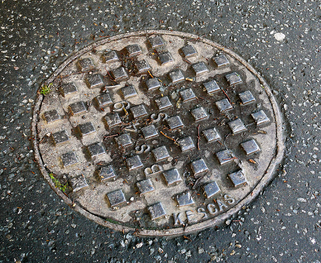
Manhole cover on the Gransha Road in Bangor. It is marked 'Kesgas' and the British Standard BS 497. Further information welcomed. J5081 : Manhole cover, Bangor shows the 'Kesgas' name in detail.
Manhole covers, foundry products etc, Northern Ireland
A series of photographs showing manhole covers, fire hydrants, gratings, foundry products, foundry plaques and inscriptions etc, in Northern Ireland.
![Creative Commons Licence [Some Rights Reserved]](https://s1.geograph.org.uk/img/somerights20.gif)
|
· Find out How to reuse this image ·
Share:
|
|||||
| Start a discussion on J5081 | Suggest an update to this image | Contact the contributor | |||
Loading map... (JavaScript required)
- Grid Square
- J5081, 1044 images (more nearby
 )
)
- Photographer
- Rossographer (find more nearby)
- Date Taken
- Thursday, 17 May, 2012 (more nearby)
- Submitted
- Friday, 18 May, 2012
- Geographical Context
- Place (from Tags)
- Subject Location
-
Irish:
 J 509 813 [100m precision]
WGS84: 54:39.4385N 5:39.7019W - Camera Location
-
Irish: J 509 813
- View Direction
- East-northeast (about 67 degrees)
Other Tags
Image classification(about):
Supplemental image
This page has been viewed about 121 times.
View this location:
KML (Google Earth) ·
Google Maps ·
Bing Maps ·
Geograph Coverage Map ·
More Links for this image
·
Bing Maps ·
Geograph Coverage Map ·
More Links for this image