M6700 : Powerlines, Slieve Aughty
taken 18 years ago, 5 km SSW of Ballynakill, Co Galway, Ireland
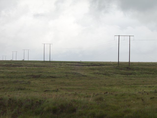
Powerlines, Slieve Aughty
170m up at the edge of the Slieve Aughty Mountains. An area not as yet covered in trees.
![Creative Commons Licence [Some Rights Reserved]](https://s1.geograph.org.uk/img/somerights20.gif)
|
· Find out How to reuse this image ·
Share:
|
|||||
| Start a discussion on M6700 | Suggest an update to this image | Contact the contributor | |||
Loading map... (JavaScript required)
- Grid Square
- M6700 (more nearby
 )
)
- Photographer
- Richard Webb (find more nearby)
- Date Taken
- Thursday, 6 July, 2006 (more nearby)
- Submitted
- Tuesday, 19 December, 2006
- Category
- Bog (more nearby)
- Subject Location
-
Irish:
 M 671 005 [100m precision]
WGS84: 53:3.2662N 8:29.4827W
This page has been viewed about 323 times.
View this location:
KML (Google Earth) ·
Google Maps ·
Bing Maps ·
Geograph Coverage Map ·
More Links for this image
·
Bing Maps ·
Geograph Coverage Map ·
More Links for this image