Q7319 : Banna Strand south end
taken 28 years ago, 4 km N of Fenit, Co Kerry, Ireland
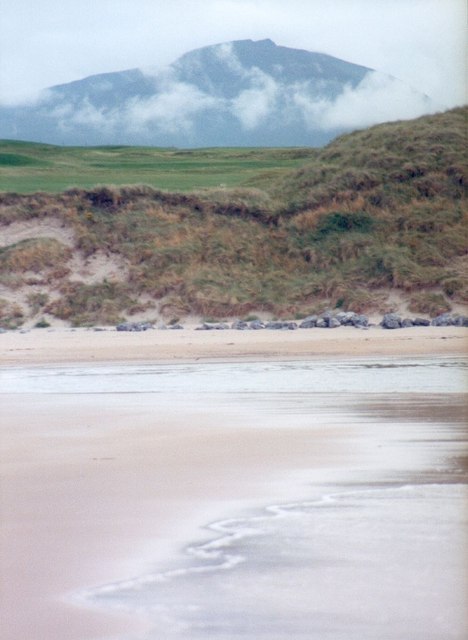
Banna Strand south end
The southern end of a long beach where a channel emerges from the Carrahane Strand inlet.
![Creative Commons Licence [Some Rights Reserved]](https://s1.geograph.org.uk/img/somerights20.gif)
|
· Find out How to reuse this image ·
Share:
|
|||||
| Start a discussion on Q7319 | Suggest an update to this image | Contact the contributor | |||
Loading map... (JavaScript required)
- Grid Square
- Q7319 (more nearby
 )
)
- Photographer
- Gordon Hatton (find more nearby)
- Date Taken
- August 1996 (more nearby)
- Submitted
- Sunday, 31 December, 2006
- Category
- Beach (more nearby)
- Subject Location
-
Irish:
 Q 73 19 [1000m precision]
WGS84: 52:18.7809N 9:51.3383W
This page has been viewed about 99 times.
View this location:
KML (Google Earth) ·
Google Maps ·
Bing Maps ·
Geograph Coverage Map ·
More Links for this image
·
Bing Maps ·
Geograph Coverage Map ·
More Links for this image