J4778 : Road at Clandeboye, Bangor
taken 17 years ago, 3 km from Crawfordsburn, Co Down, Northern Ireland
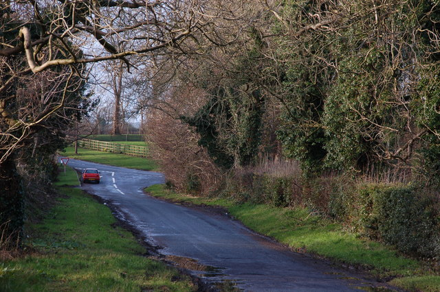
Road at Clandeboye, Bangor
This short stretch of public road does not have a name sign. It runs off the Crawfordsburn Road, Clandeboye J4777 : The Crawfordsburn Road, Clandeboye to the Ballysallagh Road J4779 : Private bridge, Ballysallagh Road near Bangor. The Ballysallagh Road can be seen in the background. See also J4778 : Estate Road, Clandeboye, Bangor (September 2017).
![Creative Commons Licence [Some Rights Reserved]](https://s1.geograph.org.uk/img/somerights20.gif)
|
· Find out How to reuse this image ·
Share:
|
|||||
| Start a discussion on J4778 | Suggest an update to this image | Contact the contributor | |||
Loading map... (JavaScript required)
- Grid Square
- J4778, 8 images (more nearby
 )
)
- Photographer
- Albert Bridge (find more nearby)
- Date Taken
- Tuesday, 2 January, 2007 (more nearby)
- Submitted
- Tuesday, 2 January, 2007
- Primary Subject of Photo
- Category
- Road > Road (more nearby)
- Subject Location
-
Irish:
 J 470 786 [100m precision]
WGS84: 54:38.0642N 5:43.4054W - Camera Location
-
Irish: J 470 786
- View Direction
- West-southwest (about 247 degrees)
Other Tags
This page has been viewed about 118 times.
View this location:
KML (Google Earth) ·
Google Maps ·
Bing Maps ·
Geograph Coverage Map ·
More Links for this image
·
Bing Maps ·
Geograph Coverage Map ·
More Links for this image