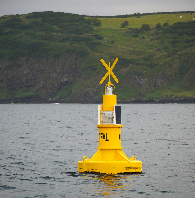
J4894 : Outfall buoy near Blackhead
taken 12 years ago, 3 km from Whitehead, Co Antrim, Northern Ireland
Outfall buoy near Blackhead
A buoy at Cloughfin near Blackhead which marks the limit of an undersea wastewater outfall that has recently been constructed - see Link for images of the construction and J5082 : Jack-up barge, Bangor for a related image.
![Creative Commons Licence [Some Rights Reserved]](https://s1.geograph.org.uk/img/somerights20.gif)
|
· Find out How to reuse this image ·
Share:
|
|||||
| Start a discussion on J4894 | Suggest an update to this image | Contact the contributor | |||
Loading map... (JavaScript required)
- Grid Square
- J4894, 5 images (more nearby
 )
)
- Photographer
- Rossographer (find more nearby)
- Date Taken
- Monday, 16 July, 2012 (more nearby)
- Submitted
- Wednesday, 18 July, 2012
- Geographical Context
- Place (from Tags)
- Subject Location
-
Irish:
 J 488 941 [100m precision]
WGS84: 54:46.3914N 5:41.2967W - Camera Location
-
Irish: J 488 941
- View Direction
- South-southwest (about 202 degrees)
Other Tags
Image classification(about):
Geograph
This page has been viewed about 153 times.
View this location:
KML (Google Earth) ·
Google Maps ·
Bing Maps ·
Geograph Coverage Map ·
More Links for this image