2012
SD7422 : Woodland Path
taken 12 years ago, near to Haslingden Grane, Lancashire, England
This is 1 of 3 images, with title Woodland Path in this square
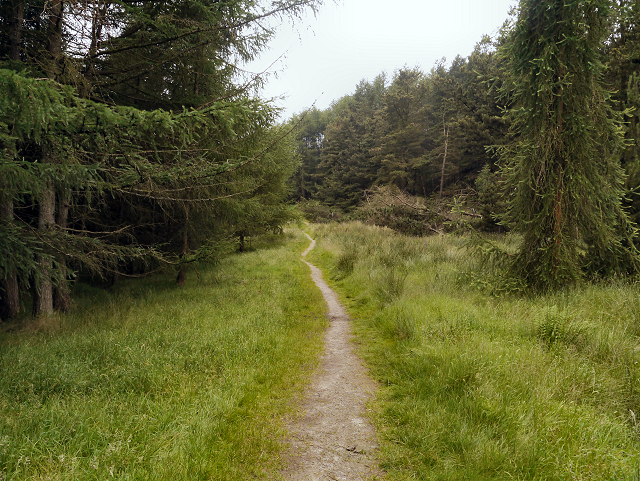
Woodland Path
The hillside to the west of Calf Hey Reservoir was planted with (non-native) trees, originally for timber production or landscaping. United Utilities have begun a process of removing these trees which have little benefit for wildlife and have a disturbing tendency to fall over in windy conditions.
 Map © Crown Copyright")
TIP: Click the map for more Large scale mapping
- Grid Square
- SD7422, 86 images (more nearby 🔍)
- Photographer
- David Dixon (more nearby)
- Date Taken
- Wednesday, 25 July, 2012 (more nearby)
- Submitted
- Saturday, 28 July, 2012
- Subject Location
-
OSGB36:
 SD 7476 2251 [10m precision]
WGS84: 53:41.9047N 2:23.0257W - Camera Location
-
OSGB36: SD 7478 2251
- View Direction
- WEST (about 270 degrees)