2012
SE2513 : Kirklees Way
taken 12 years ago, near to Midgley, Wakefield, England
Kirklees Way
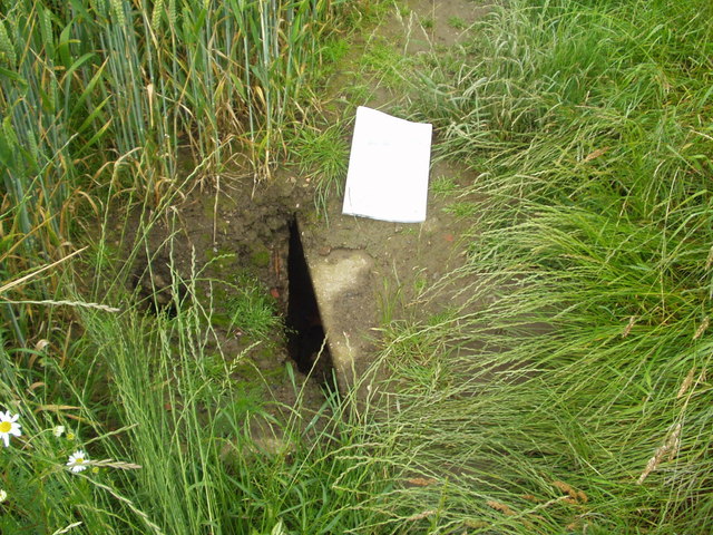
Collapsed drain
 Map © Crown Copyright")
TIP: Click the map for more Large scale mapping
- Grid Square
- SE2513, 26 images (more nearby 🔍)
- Photographer
- Gerry D (more nearby)
- Date Taken
- Thursday, 19 July, 2012 (more nearby)
- Submitted
- Thursday, 2 August, 2012
- Subject Location
-
OSGB36:
 SE 2589 1362 [10m precision]
WGS84: 53:37.1093N 1:36.6052W - Camera Location
-
OSGB36: SE 2589 1362
- View Direction
- Northwest (about 315 degrees)