R4646 : Adare - Adare Manor Grounds - Stone Building Ruins - Window & Interior at Left
taken 12 years ago, near to Adare, Co Limerick, Ireland
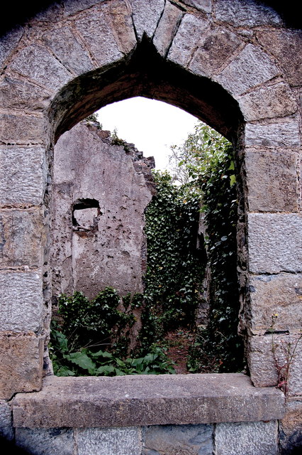
Adare - Adare Manor Grounds - Stone Building Ruins - Window & Interior at Left
View is to northwest.
![Creative Commons Licence [Some Rights Reserved]](https://s1.geograph.org.uk/img/somerights20.gif)
|
· Find out How to reuse this image ·
Share:
|
|||||
|
There is 1 post in a
discussion on R4646 (preview on the left) |
Suggest an update to this image | Contact the contributor | |||
Loading map... (JavaScript required)
- Grid Square
- R4646, 217 images (more nearby
 )
)
- Photographer
- Joseph Mischyshyn (find more nearby)
- Date Taken
- Tuesday, 22 May, 2012 (more nearby)
- Submitted
- Saturday, 4 August, 2012
- Geographical Context
- Subject Location
-
Irish:
 R 469 463 [100m precision]
WGS84: 52:33.9605N 8:47.0101W - Camera Location
-
Irish: R 469 463
- View Direction
- West-northwest (about 292 degrees)
Image classification(about):
Supplemental image
This page has been viewed about 11 times.
View this location:
KML (Google Earth) ·
Google Maps ·
Bing Maps ·
Geograph Coverage Map ·
More Links for this image
·
Bing Maps ·
Geograph Coverage Map ·
More Links for this image