2000
SK2568 : Debris marks Floodline of River Derwent
taken 23 years ago, near to Edensor, Derbyshire, England
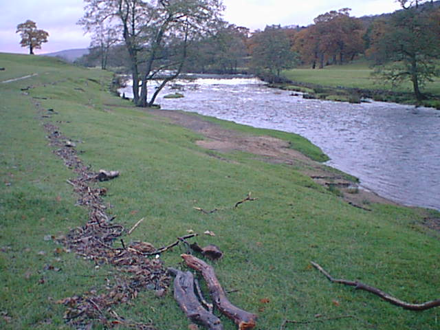
Debris marks Floodline of River Derwent
Looking towards weir in Chatsworth Park, with heavily swollen River Derwent.
 Map © Crown Copyright")
TIP: Click the map for more Large scale mapping
- Grid Square
- SK2568, 90 images (more nearby 🔍)
- Photographer
- Alan Heardman (more nearby)
- Date Taken
- Sunday, 12 November, 2000 (more nearby)
- Submitted
- Sunday, 7 January, 2007
- Subject Location
-
OSGB36:
 SK 25 68 [1000m precision]
WGS84: 53:12.7772N 1:37.1769W - Camera Location
-
OSGB36: SK 259 686
- View Direction
- NORTH (about 0 degrees)