M2300 : The Burren - R480 - Rocks, Shrubs & Field near Poulnabrone Dolmen Site
taken 12 years ago, 4 km WNW of Carran, Co Clare, Ireland
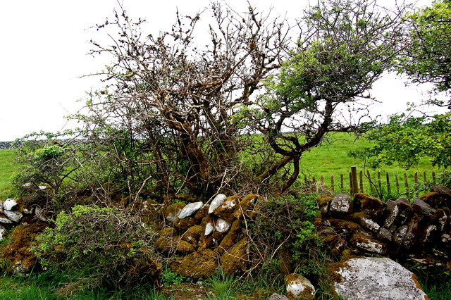
The Burren - R480 - Rocks, Shrubs & Field near Poulnabrone Dolmen Site
View is to northeast from a path between the Poulnabrone Dolmen parking area and the dolmen.
![Creative Commons Licence [Some Rights Reserved]](https://s1.geograph.org.uk/img/somerights20.gif)
|
· Find out How to reuse this image ·
Share:
|
|||||
| Start a discussion on M2300 | Suggest an update to this image | Contact the contributor | |||
Loading map... (JavaScript required)
- Grid Square
- M2300, 100 images (more nearby
 )
)
- Photographer
- Joseph Mischyshyn (find more nearby)
- Date Taken
- Wednesday, 23 May, 2012 (more nearby)
- Submitted
- Wednesday, 8 August, 2012
- Geographical Context
- Subject Location
-
Irish:
 M 235 002 [100m precision]
WGS84: 53:2.8371N 9:8.4672W - Camera Location
-
Irish: M 235 001
- View Direction
- Northeast (about 45 degrees)
Image classification(about):
Geograph
This page has been viewed about 17 times.
View this location:
KML (Google Earth) ·
Google Maps ·
Bing Maps ·
Geograph Coverage Map ·
More Links for this image
·
Bing Maps ·
Geograph Coverage Map ·
More Links for this image