N4870 : Ten and half acres
taken 12 years ago, near to Castlepollard, Co Westmeath, Ireland
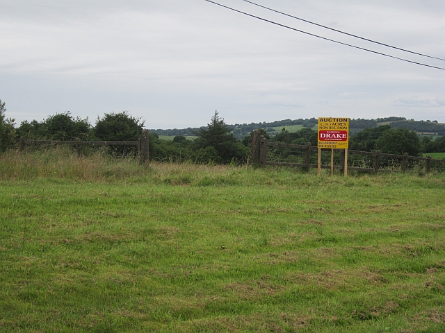
Ten and half acres
Auctioneer's sign for 10.5 acres of farmland (this is metric Ireland, it is 4.25 Ha.). Just west of Castlepollard on the road to Oldcastle.
![Creative Commons Licence [Some Rights Reserved]](https://s1.geograph.org.uk/img/somerights20.gif)
|
· Find out How to reuse this image ·
Share:
|
|||||
| Start a discussion on N4870 | Suggest an update to this image | Contact the contributor | |||
Loading map... (JavaScript required)
- Grid Square
- N4870, 4 images (more nearby
 )
)
- Photographer
- Richard Webb (find more nearby)
- Date Taken
- Tuesday, 24 July, 2012 (more nearby)
- Submitted
- Thursday, 9 August, 2012
- Geographical Context
- Subject Location
-
Irish:
 N 484 702 [100m precision]
WGS84: 53:40.7839N 7:16.0885W - Camera Location
-
Irish: N 483 702
- View Direction
- Southeast (about 135 degrees)
This page has been viewed about 32 times.
View this location:
KML (Google Earth) ·
Google Maps ·
Bing Maps ·
Geograph Coverage Map ·
More Links for this image
·
Bing Maps ·
Geograph Coverage Map ·
More Links for this image