2012
SP3692 : Nuneaton - Junction of Bath Road and St Mary's Road
taken 12 years ago, near to Nuneaton, Warwickshire, England
This is 1 of 30 images, with title starting with Nuneaton in this square
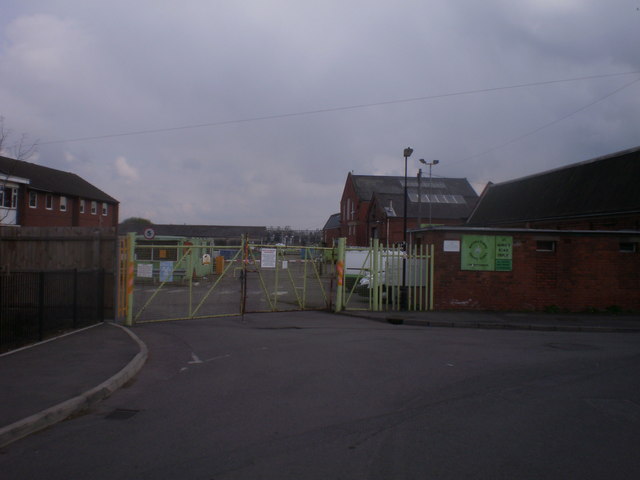
Nuneaton - Junction of Bath Road and St Mary's Road
 Map © Crown Copyright")
TIP: Click the map for more Large scale mapping
- Grid Square
- SP3692, 162 images (more nearby 🔍)
- Photographer
- Duncan Watts (more nearby)
- Date Taken
- Friday, 13 April, 2012 (more nearby)
- Submitted
- Monday, 13 August, 2012
- Subject Location
-
OSGB36:
 SP 3600 9237 [10m precision]
WGS84: 52:31.6811N 1:28.2470W - Camera Location
-
OSGB36: SP 3600 9237
- View Direction
- EAST (about 90 degrees)