J0410 : Approaching the end of the M1 at Ballynahattin
taken 12 years ago, near to Faughart Upper, Co Louth, Ireland
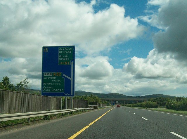
Approaching the end of the M1 at Ballynahattin
The road continues on to the border as the N1.
![Creative Commons Licence [Some Rights Reserved]](https://s1.geograph.org.uk/img/somerights20.gif)
|
· Find out How to reuse this image ·
Share:
|
|||||
| Start a discussion on J0410 | Suggest an update to this image | Contact the contributor | |||
Loading map... (JavaScript required)
- Grid Square
- J0410, 2 images (more nearby
 )
)
- Photographer
- Eric Jones (find more nearby)
- Date Taken
- Saturday, 28 July, 2012 (more nearby)
- Submitted
- Tuesday, 14 August, 2012
- Geographical Context
- Subject Location
-
Irish:
 J 049 108 [100m precision]
WGS84: 54:2.1585N 6:23.9349W - Camera Location
-
Irish: J 047 108
- View Direction
- EAST (about 90 degrees)
Image classification(about):
Geograph (Second Visitor for J0410)
· First in 5 Years (TPoint) (about)
This page has been viewed about 36 times.
View this location:
KML (Google Earth) ·
Google Maps ·
Bing Maps ·
Geograph Coverage Map ·
More Links for this image
·
Bing Maps ·
Geograph Coverage Map ·
More Links for this image