2012
HU3754 : Ruined sheep shelter, Maa Water
taken 12 years ago, near to Setter, Mainland, Shetland Islands, Scotland
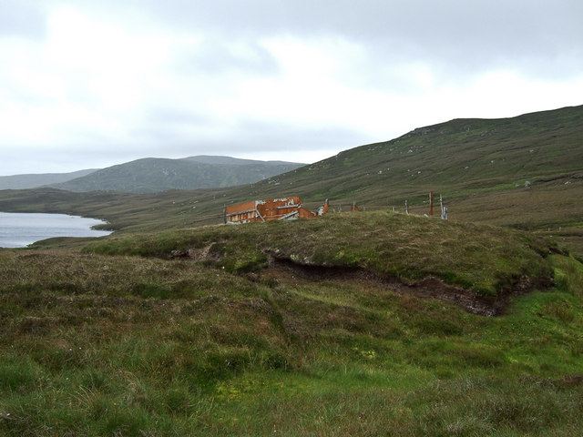
Ruined sheep shelter, Maa Water
One of a pair of sheep shelters in this area which can still be seen on the 1:25,000 scale OS map.
These would have dated from the 60's when Winton had Kergord farm and there are still the remains of these small satellite sheep shelters, footbridges and the like scattered across the estate.
These would have dated from the 60's when Winton had Kergord farm and there are still the remains of these small satellite sheep shelters, footbridges and the like scattered across the estate.
 Map © Crown Copyright")
TIP: Click the map for more Large scale mapping
- Grid Square
- HU3754, 5 images (more nearby 🔍)
- Photographer
- David Nicolson (more nearby)
- Date Taken
- Tuesday, 14 August, 2012 (more nearby)
- Submitted
- Sunday, 19 August, 2012
- Subject Location
-
OSGB36:
 HU 3793 5465 [10m precision]
WGS84: 60:16.4572N 1:18.9672W - Camera Location
-
OSGB36: HU 3789 5462
- View Direction
- Northeast (about 45 degrees)