2012
NT6875 : Barleyscape from Doon Hill
taken 12 years ago, near to Spott, East Lothian, Scotland
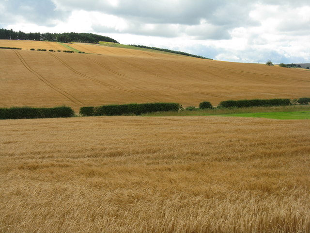
Barleyscape from Doon Hill
Looking south from the Historic Scotland site on Doon Hill.
 Map © Crown Copyright")
TIP: Click the map for more Large scale mapping
- Grid Square
- NT6875, 18 images (more nearby 🔍)
- Photographer
- M J Richardson (more nearby)
- Date Taken
- Thursday, 23 August, 2012 (more nearby)
- Submitted
- Friday, 24 August, 2012
- Subject Location
-
OSGB36:
 NT 6870 7515 [10m precision]
WGS84: 55:58.0995N 2:30.1810W - Camera Location
-
OSGB36: NT 6869 7550
- View Direction
- SOUTH (about 180 degrees)