N3267 : Bog Walk Way
taken 12 years ago, near to Rathowen, Co Westmeath, Ireland
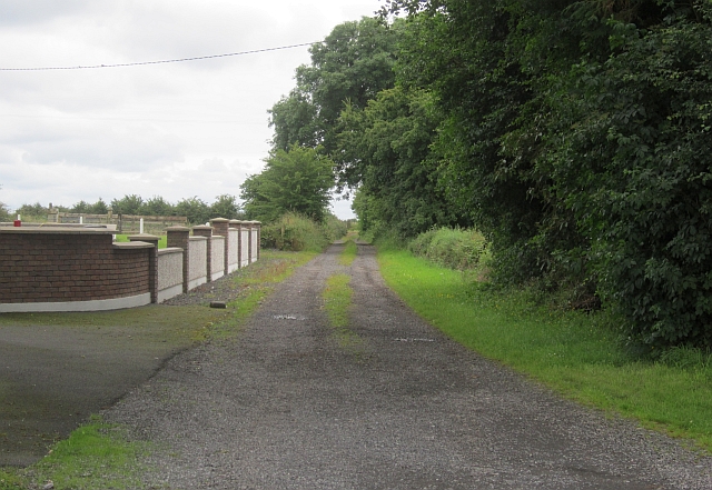
Bog Walk Way
A signposted walk along a farm road near Rathowen. Rathowen is on the edge of a vast area of bogland.
![Creative Commons Licence [Some Rights Reserved]](https://s1.geograph.org.uk/img/somerights20.gif)
|
· Find out How to reuse this image ·
Share:
|
|||||
| Start a discussion on N3267 | Suggest an update to this image | Contact the contributor | |||
Loading map... (JavaScript required)
- Grid Square
- N3267 (more nearby
 )
)
- Photographer
- Richard Webb (find more nearby)
- Date Taken
- Tuesday, 24 July, 2012 (more nearby)
- Submitted
- Monday, 27 August, 2012
- Geographical Context
- Subject Location
-
Irish:
 N 325 676 [100m precision]
WGS84: 53:39.4504N 7:30.4686W - Camera Location
-
Irish: N 325 676
- View Direction
- East-southeast (about 112 degrees)
This page has been viewed about 83 times.
View this location:
KML (Google Earth) ·
Google Maps ·
Bing Maps ·
Geograph Coverage Map ·
More Links for this image
·
Bing Maps ·
Geograph Coverage Map ·
More Links for this image