L8140 : Quarry on east side of R340 - Bunnahown Townland
taken 12 years ago, 3 km from Doonreaghan, Co Galway, Ireland
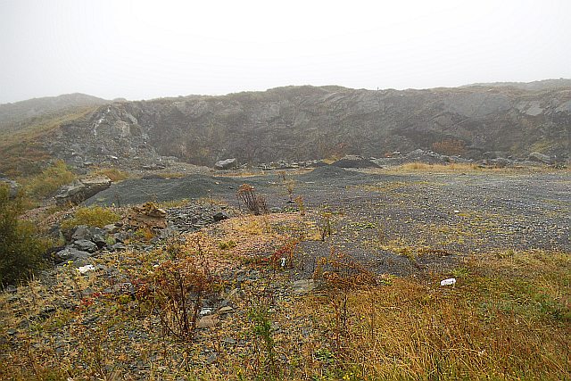
Quarry on east side of R340 - Bunnahown Townland
Judging by the random heaps of material the stone is to be used in road construction/surfacing. If the quarry is still in use any machinery will be brought in as and when it is required.
The townland name is translated as the "foot of the river".
The townland name is translated as the "foot of the river".
![Creative Commons Licence [Some Rights Reserved]](https://s1.geograph.org.uk/img/somerights20.gif)
|
· Find out How to reuse this image ·
Share:
|
|||||
| Start a discussion on L8140 | Suggest an update to this image | Contact the contributor | |||
Loading map... (JavaScript required)
- Grid Square
- L8140 (more nearby
 )
)
- Photographer
- Mac McCarron (find more nearby)
- Date Taken
- Friday, 7 September, 2012 (more nearby)
- Submitted
- Monday, 17 September, 2012
- Geographical Context
- Category
- Quarry (more nearby)
- Subject Location
-
Irish:
 L 81494 40864 [1m precision]
WGS84: 53:24.2896N 9:46.9560W - Camera Location
-
Irish: L 81481 40895
- View Direction
- Southeast (about 135 degrees)
Other Tags
This page has been viewed about 34 times.
View this location:
KML (Google Earth) ·
Google Maps ·
Bing Maps ·
Geograph Coverage Map ·
More Links for this image
·
Bing Maps ·
Geograph Coverage Map ·
More Links for this image