2006
NT0337 : Exposed roots and rock in the quarry on the Knock, Biggar
taken 17 years ago, near to Biggar, South Lanarkshire, Scotland
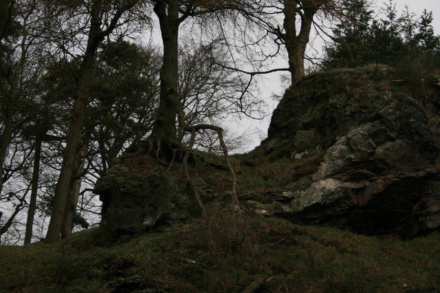
Exposed roots and rock in the quarry on the Knock, Biggar
 Map © Crown Copyright")
TIP: Click the map for more Large scale mapping
- Grid Square
- NT0337, 131 images (more nearby 🔍)
- Photographer
- Derek Brown (more nearby)
- Date Taken
- Saturday, 30 December, 2006 (more nearby)
- Submitted
- Tuesday, 16 January, 2007
- Subject Location
-
OSGB36:
 NT 032 377 [100m precision]
WGS84: 55:37.3935N 3:32.2675W - Camera Location
-
OSGB36: NT 031 376
- View Direction
- East-northeast (about 67 degrees)