2007
SO8002 : Track to Woodside Farm
taken 17 years ago, near to King's Stanley, Gloucestershire, England
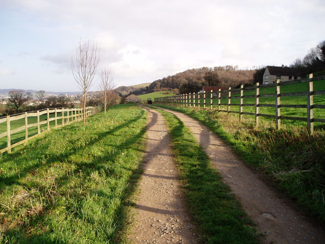
Track to Woodside Farm
Farm located high above Leonard Stanley and just below the wooded Cotswold Scarp. The shadow of the wooden fence creates a nice pattern across the farm track.
 Map © Crown Copyright")
TIP: Click the map for more Large scale mapping
- Grid Square
- SO8002, 18 images (more nearby 🔍)
- Photographer
- David Gruar (more nearby)
- Date Taken
- Sunday, 14 January, 2007 (more nearby)
- Submitted
- Tuesday, 16 January, 2007
- Subject Location
-
OSGB36:
 SO 808 024 [100m precision]
WGS84: 51:43.1995N 2:16.7603W - Camera Location
-
OSGB36: SO 808 024
- View Direction
- East-northeast (about 67 degrees)