2012
TQ7607 : National Cycle Network sign
taken 12 years ago, near to Bulverhythe, East Sussex, England
This is 1 of 2 images, with title National Cycle Network sign in this square
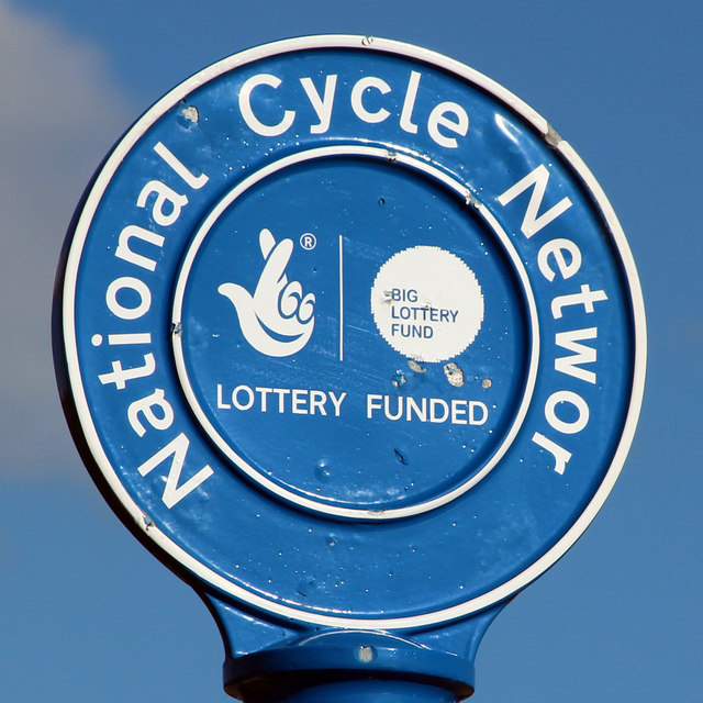
National Cycle Network sign
National Cycle Network Route 2
National Route 2 will link Dover with St. Austell when complete via the south coast of England and is sometimes referred to as the South Coast Cycle Route.
The route is only fully open, at present, and signed between Dover and Brighton, but is still under development between Brighton and St. Austell.
 Map © Crown Copyright")
TIP: Click the map for more Large scale mapping
- Grid Square
- TQ7607, 110 images (more nearby 🔍)
- Photographer
- Oast House Archive (more nearby)
- Date Taken
- Saturday, 29 September, 2012 (more nearby)
- Submitted
- Saturday, 29 September, 2012
- Subject Location
-
OSGB36:
 TQ 764 079 [100m precision]
WGS84: 50:50.6237N 0:30.2703E - Camera Location
-
OSGB36: TQ 764 078
- View Direction
- East-northeast (about 67 degrees)