2008
SH2780 : Holyhead Toll House
taken 16 years ago, near to Penrhos, Isle of Anglesey/Sir Ynys Mon, Wales
This is 1 of 2 images, with title starting with Holyhead in this square
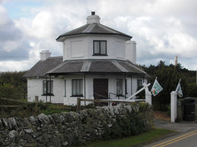
Holyhead Toll House
The old toll house is now a cafe
 Map © Crown Copyright")
TIP: Click the map for more Large scale mapping
- Grid Square
- SH2780, 63 images (more nearby 🔍)
- Photographer
- Christine Courtney (more nearby)
- Date Taken
- Thursday, 2 October, 2008 (more nearby)
- Submitted
- Monday, 15 October, 2012
- Subject Location
-
OSGB36:
 SH 2755 8040 [10m precision]
WGS84: 53:17.5453N 4:35.3278W - Camera Location
-
OSGB36: SH 2757 8039
- View Direction
- West-northwest (about 292 degrees)