2012
NR6117 : The Kintyre Way
taken 12 years ago, 4 km SSW of Machrihanish, Argyll And Bute, Scotland
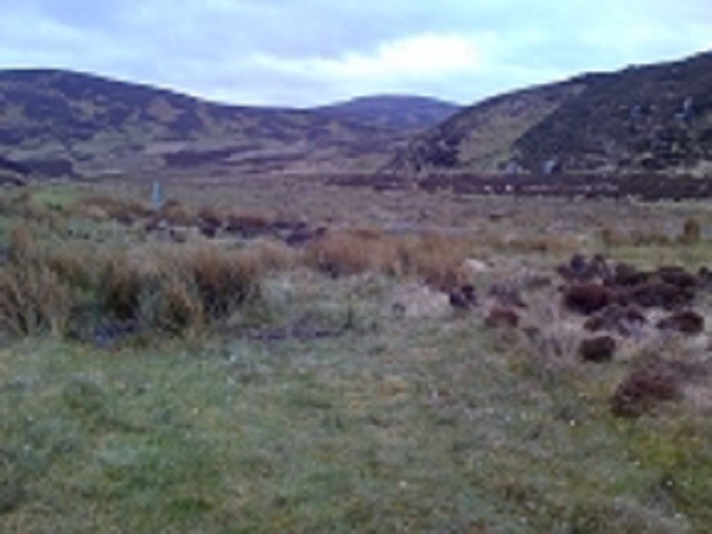
The Kintyre Way
Heading towards Innean Glenn, Cnoc Moy in the distance
 Map © Crown Copyright")
TIP: Click the map for more Large scale mapping
- Grid Square
- NR6117, 3 images (more nearby 🔍)
- Photographer
- ian lee (more nearby)
- Date Taken
- May 2012 (more nearby)
- Submitted
- Thursday, 18 October, 2012
- Subject Location
-
OSGB36:
 NR 6151 1705 [10m precision]
WGS84: 55:23.3562N 5:46.0306W - Camera Location
-
OSGB36: NR 6165 1774
- View Direction
- South-southwest (about 202 degrees)