2012
SU0347 : 2012 : Candown Road, Tilshead
taken 12 years ago, near to Tilshead, Wiltshire, England
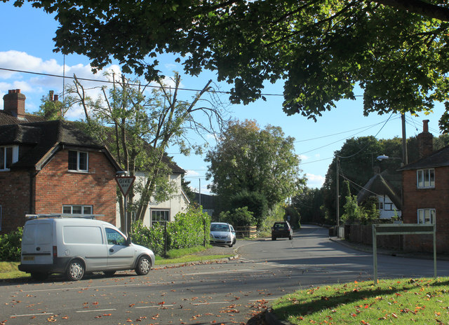
2012 : Candown Road, Tilshead
Heads east of the village and enters the military range in just under a mile.
 Map © Crown Copyright")
TIP: Click the map for more Large scale mapping
- Grid Square
- SU0347, 47 images (more nearby 🔍)
- Photographer
- Maurice Pullin (more nearby)
- Date Taken
- Sunday, 14 October, 2012 (more nearby)
- Submitted
- Sunday, 21 October, 2012
- Subject Location
-
OSGB36:
 SU 0359 4793 [10m precision]
WGS84: 51:13.8328N 1:56.9980W - Camera Location
-
OSGB36: SU 03525 47891
- View Direction
- Northeast (about 45 degrees)