2005
NS7026 : Flooded quarry near Muirkirk
taken 19 years ago, near to Kames, East Ayrshire, Scotland
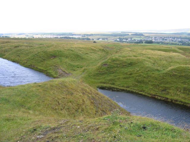
Flooded quarry near Muirkirk
The former iron works at Muirkirk, which town is in the right background with its "suburb" of Smallburn to the left, obtained much of its raw materials locally, coal, ironstone and limestone all being mined or quarried nearby. This particular flooded pit was a limestone quarry and was connected to the iron works by a lengthy and steeply graded standard-gauge tramway.
 Map © Crown Copyright")
TIP: Click the map for more Large scale mapping
- Grid Square
- NS7026, 21 images (more nearby 🔍)
- Photographer
- A-M-Jervis (more nearby)
- Date Taken
- Saturday, 13 August, 2005 (more nearby)
- Submitted
- Monday, 22 October, 2012
- Subject Location
-
OSGB36:
 NS 7087 2612 [10m precision]
WGS84: 55:30.7030N 4:2.7843W - Camera Location
-
OSGB36: NS 7090 2610
- View Direction
- Northwest (about 315 degrees)