2012
NO4299 : Loch Kinord viewpoint
taken 12 years ago, 3 km from Ordie, Aberdeenshire, Scotland
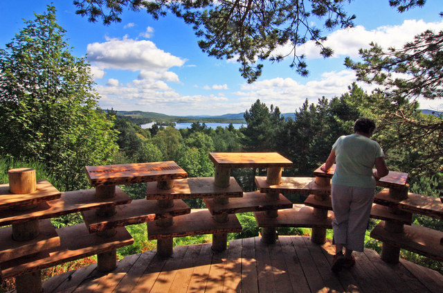
Loch Kinord viewpoint
On the Burn O' Vat trail, Muir of Dinnet.
 Map © Crown Copyright")
TIP: Click the map for more Large scale mapping
- Grid Square
- NO4299, 62 images (more nearby 🔍)
- Photographer
- Alan Findlay (more nearby)
- Date Taken
- Friday, 10 August, 2012 (more nearby)
- Submitted
- Friday, 26 October, 2012
- Subject Location
-
OSGB36:
 NO 4282 9975 [10m precision]
WGS84: 57:5.1110N 2:56.7028W - Camera Location
-
OSGB36: NO 4282 9975
- View Direction
- Southeast (about 135 degrees)