2007
SU1720 : The End of the Bridge
taken 17 years ago, near to Downton, Wiltshire, England
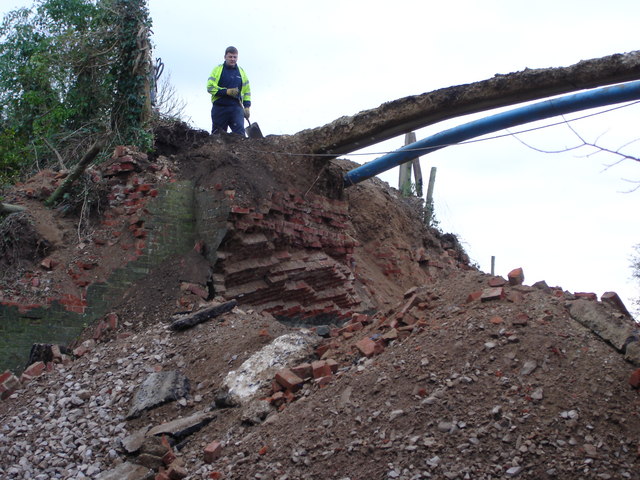
The End of the Bridge
This is almost the end of the bridge that once carried Moot Lane in Downton over the railway line from Salisbury to Bournemouth.
 Map © Crown Copyright")
TIP: Click the map for more Large scale mapping
- Grid Square
- SU1720, 30 images (more nearby 🔍)
- Photographer
- Judith Green (more nearby)
- Date Taken
- Friday, 26 January, 2007 (more nearby)
- Submitted
- Friday, 26 January, 2007
- Subject Location
-
OSGB36:
 SU 178 205 [100m precision]
WGS84: 50:59.0503N 1:44.8250W - Camera Location
-
OSGB36: SU 178 205
- View Direction
- North-northeast (about 22 degrees)