2012
ST6838 : 2012 : Rough grazing west of Batcombe
taken 11 years ago, near to Westcombe, Somerset, England
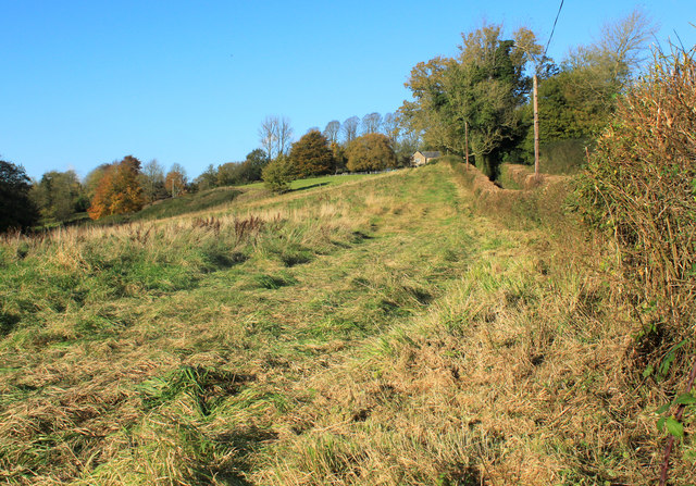
2012 : Rough grazing west of Batcombe
On Holly Hill, suitable for mountain goats.
The River Alham is in the valley to the left.
The River Alham is in the valley to the left.
 Map © Crown Copyright")
TIP: Click the map for more Large scale mapping
- Grid Square
- ST6838, 11 images (more nearby 🔍)
- Photographer
- Maurice Pullin (more nearby)
- Date Taken
- Monday, 5 November, 2012 (more nearby)
- Submitted
- Friday, 9 November, 2012
- Subject Location
-
OSGB36:
 ST 6831 3885 [10m precision]
WGS84: 51:8.8816N 2:27.2658W - Camera Location
-
OSGB36: ST 68371 38689
- View Direction
- North-northwest (about 337 degrees)