2012
ST6838 : 2012 : Holly Hill between Batcombe and Westcombe
taken 11 years ago, near to Batcombe, Somerset, England
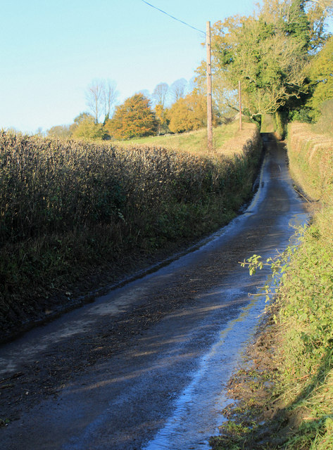
2012 : Holly Hill between Batcombe and Westcombe
Holly Hill heads south and after a few adventures ends up at Bruton changing its name several times on the way.
Heavy rain over the last day or two has left brooks, streams as well as roads in this area with a surfeit of water.
Heavy rain over the last day or two has left brooks, streams as well as roads in this area with a surfeit of water.
 Map © Crown Copyright")
TIP: Click the map for more Large scale mapping
- Grid Square
- ST6838, 11 images (more nearby 🔍)
- Photographer
- Maurice Pullin (more nearby)
- Date Taken
- Monday, 5 November, 2012 (more nearby)
- Submitted
- Friday, 9 November, 2012
- Subject Location
-
OSGB36:
 ST 6838 3885 [10m precision]
WGS84: 51:8.8818N 2:27.2058W - Camera Location
-
OSGB36: ST 6837 3869
- View Direction
- NORTH (about 0 degrees)